· deep dive · 3 min read
How does Google Map's Satellite View Feature Work?
Learn which satellites take photos and why we can't get updates instantly.
Experience Our Dynamic Planet Through Satellite Mapping
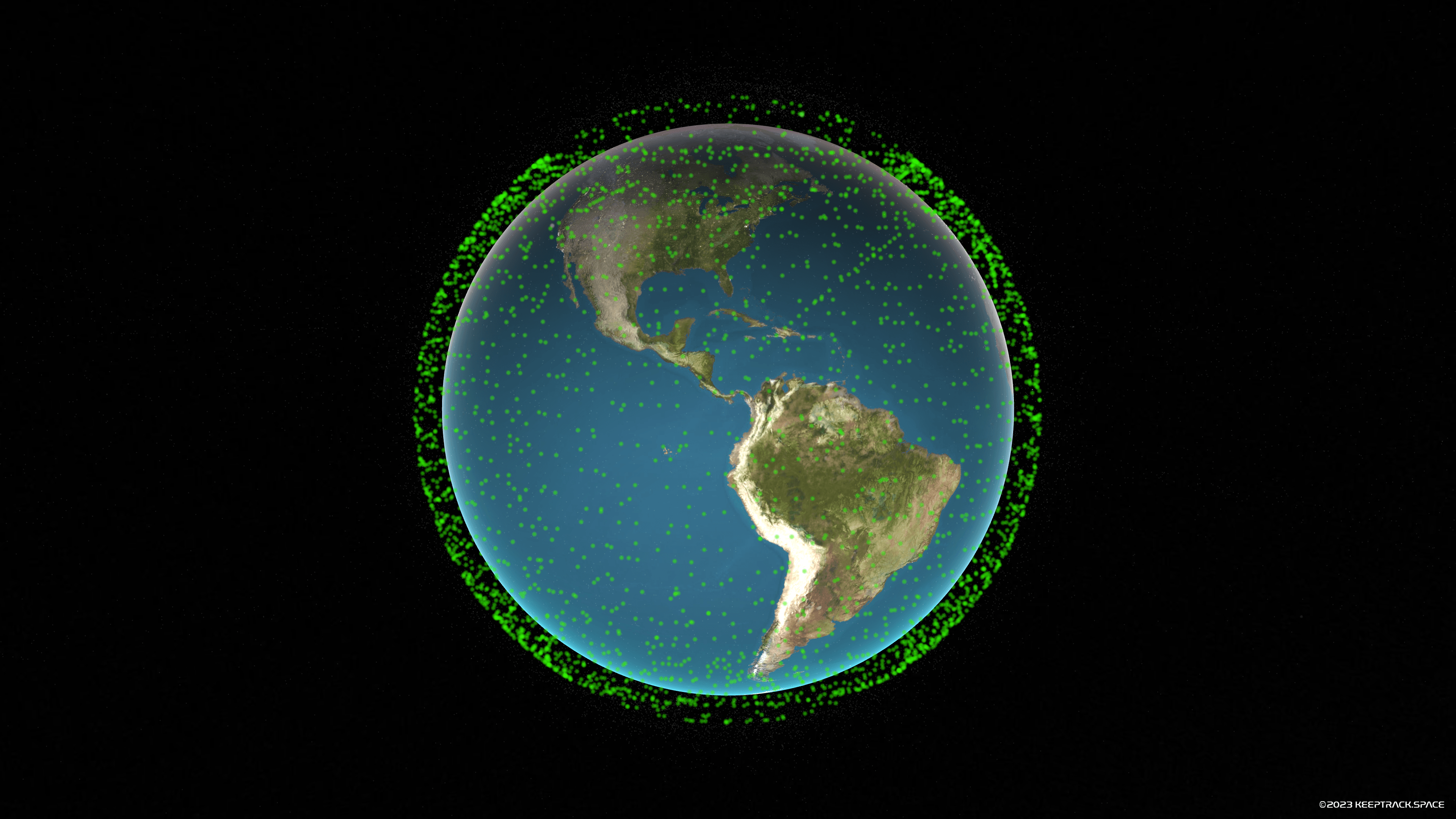
While SpaceX’s Starlink satellites are known for their role in providing global high-speed internet, they don’t capture Earth images. Instead, over a thousand specialized Earth observation satellites are responsible for the rich satellite map imagery and “live” views we access today.
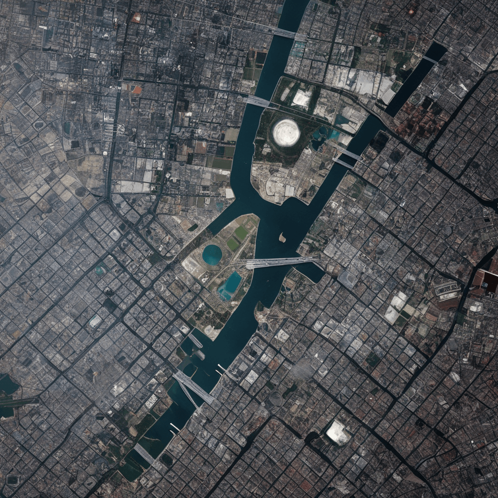
Open Google Maps, Apple Maps, or other mapping apps and switch to satellite view for a worldwide bird’s-eye glimpse. In “mapa satelital” mode, satellite images reveal stunning perspectives of geological forms, cityscapes, weather patterns, and more. This article explores how satellites enable services like Google Maps to bring our world closer.
Capturing Our Changing Planet
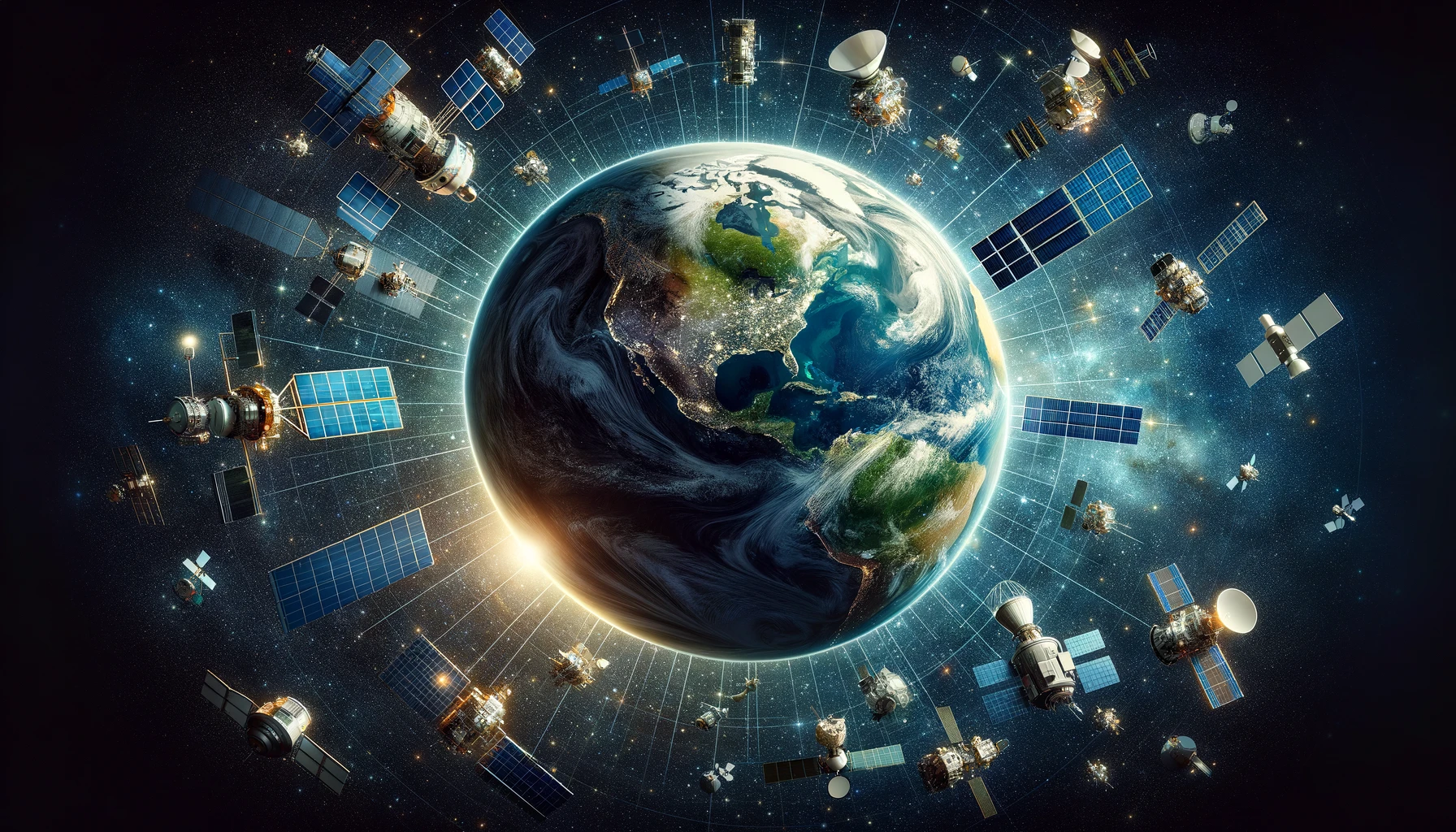
A vast network of observation satellites equipped with high-resolution cameras and sensors feed into popular applications. Some focus on weather tracking, others on agricultural and forestry changes, and some offer detailed views of neighborhoods and street-level activity. Partnerships between Google, Apple, and other providers with satellite operators enable the integration of timely satellite snapshots into map interfaces.
Types of Earth Observation Satellites
- Weather Monitoring: European Meteosat satellites assist in meteorological forecasting.
- Agriculture/Forestry: Planet Labs’ Rapideye satellites track vegetation changes for crop management.
- Infrastructure/Surveillance: Satellites like ImageSat International’s EROS photograph structures and activities for government intelligence.
By fusing Earth observation data with navigation and mapping tools, developers have created an accessible blend of geographical representations and near real-time satellite imaging.
Peeking at Our Dynamic Planet
One of the reasons why satellite pictures are usually very old (my house on Google Maps is from a few years ago) is that the size of the images is a huge hurdle. Download speeds from satellites are not very fast and the images that make up Google Earth are 179 TB total. That is the equivalent of 6,200+ Blu-ray movies and would take more than two weeks to download with high-speed interent!
To get the photos down to Earth in real-time (at least over certain areas) we need much faster download speeds. As satellite and camera technology advance, high-resolution monitoring of Earth in real time is becoming more feasible. SpaceX Starlink and other satellite communications constellations will likely deepen satellite-mapping integration. Live satellite views may soon become commonplace, offering instant updates in response to various global events.
In the mean time, you can actually data from a few satellites directly on Keep Track. We pull photos from a few satellites including MeteoSat, Himawari, GOES every 5-15 minutes.

The Future of Satellite Mapping
Some of the exciting possibilities on the horizon include:
- Ultra high-definition views for virtual tours in real time.
- Democratized access for citizen scientists, revealing environmental insights and infrastructure changes.
- Enhanced global transparency around crises and events, streaming into daily platforms.
Challenges remain, including handling the vast amount of satellite data, privacy concerns, and regulatory debates.
A More Visually Connected World
As software, space technology, and internet infrastructure merge, we are moving towards a world rich in visual connections. Just as the early internet connected cultures through information, emerging mapping ecosystems foster visual bonds transcending borders. This new era of satellite imagery brings us closer to a visually interconnected planetary civilization.