· space terms · 6 min read
Highly Elliptical Orbit
An orbit stretched so thin it nearly touches the atmosphere on one end and reaches geostationary altitude on the other - engineered to hover over places circular orbits can barely see.
Picture throwing a ball straight up, except sideways, and in space. It climbs slowly to an incredible height, seems to hang there for hours, then whips back down close to Earth before climbing all over again. That is essentially what a satellite does in a highly elliptical orbit - and it turns out that hanging part is extraordinarily useful.
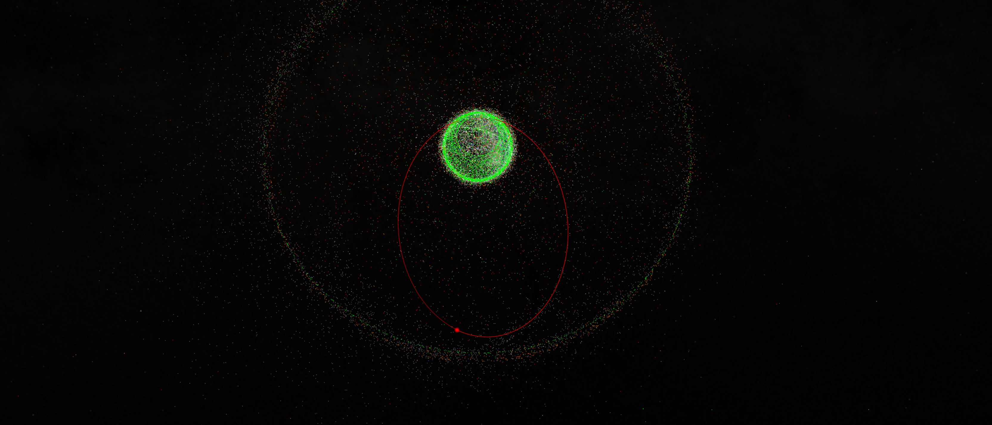
A highly elliptical orbit (HEO) is exactly what it sounds like: an orbit where the satellite’s path around Earth is a stretched-out ellipse rather than a neat circle. The low point, called perigee, might skim as close as 500 kilometers above the surface. The high point, apogee, can reach 40,000 kilometers or more - roughly the same altitude as geostationary satellites. The result is a lopsided loop where the satellite spends most of its time crawling through the high, slow apogee arc and very little time zipping through the low, fast perigee.
The Technical Bits
The defining characteristic of an HEO is its eccentricity - a number between 0 (a perfect circle) and 1 (a parabola that never comes back). Most HEOs have eccentricities above 0.6, and the classic Molniya orbit sits around 0.74. For comparison, the International Space Station’s nearly circular orbit has an eccentricity of about 0.0001.
Kepler’s second law is the key to why HEOs work. A satellite sweeps out equal areas in equal times, which means it moves slowly at apogee and screams through perigee. A Molniya satellite at 40,000 kilometers altitude is barely crawling - it can spend eight or more hours visible from a single ground station during each 12-hour orbit. A satellite at perigee, just a few hundred kilometers up, crosses that arc in under an hour.
Two specific HEO variants matter most:
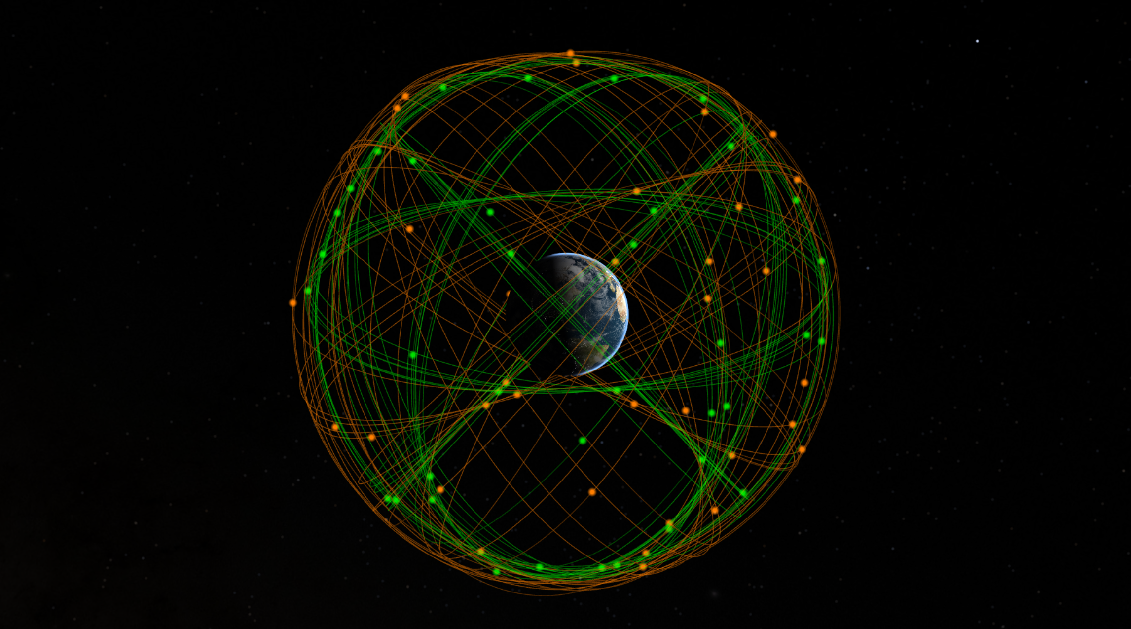
The Molniya orbit has a 12-hour period, an inclination of 63.4 degrees, and apogee over the Northern Hemisphere. That 63.4-degree inclination is not arbitrary - it is the exact angle where a gravitational quirk caused by Earth’s equatorial bulge stops rotating the orbit’s low point. At any other inclination, the perigee would slowly drift around the orbit, eventually pointing the apogee away from the hemisphere you want to cover. At 63.4 degrees, it stays put. Three satellites in Molniya orbits can provide continuous coverage of high latitudes.
The Tundra orbit is the 24-hour sibling - same 63.4-degree inclination, but a full sidereal-day period with a lower eccentricity of around 0.2 to 0.3. Because its period matches Earth’s rotation, a Tundra orbit traces a figure-eight ground track that dwells over a specific region. You only need two satellites for continuous coverage instead of three. Sirius XM satellite radio famously used Tundra orbits to keep two of its three satellites loitering over North America at all times.
Why It Matters
Geostationary satellites are wonderful for most of the world, but they orbit directly above the equator. If you live in Moscow, Anchorage, or Tromsø, a geostationary satellite sits so low on your southern horizon that buildings, mountains, and even trees can block the signal. Above about 70 degrees latitude, the geometry becomes nearly useless.
HEOs solve this by placing the satellite’s slow, high-altitude dwell directly over polar and high-latitude regions. The Soviet Union figured this out in the 1960s when it needed reliable communications across Siberia and the Arctic. The Molniya satellite series - first launched in 1965 - became the backbone of Soviet military and civilian communications for decades. Russia still operates the Meridian constellation in Molniya orbits today, providing secure communications for military and government users across the Arctic.
Beyond communications, HEOs are valuable for early warning. Russia’s EKS (Edinaya Kosmicheskaya Sistema) missile warning satellites, ironically named “Tundra” despite actually using Molniya orbits, watch for ballistic missile launches from their high northern apogees. Space weather missions like NASA’s Magnetospheric Multiscale Mission use HEOs to study the magnetosphere, and the Chandra X-ray Observatory rides an elliptical orbit that carries it a third of the way to the Moon, spending most of its time above the Van Allen radiation belts where its instruments can observe without interference.
The Tradeoffs
HEOs come with headaches that circular orbits avoid. The most serious is radiation. Every pass through perigee takes the satellite plunging through the Van Allen radiation belts - bands of high-energy particles trapped by Earth’s magnetic field. This hammering degrades solar panels, fries electronics, and shortens satellite lifetimes considerably. The original Molniya satellites lasted only one to three years, partly because of this punishment. Russia’s Meridian successors improved to about seven years, but that still compares poorly to geostationary satellites that routinely last fifteen.
The constantly changing altitude also means constantly changing signal strength and latency for communications. Ground antennas need to track the satellite across the sky rather than pointing at a fixed spot on the equator. And during the fast perigee passage, the satellite is essentially useless - it crosses the sky too quickly for meaningful communication and passes through the radiation belts besides.
Fun Fact Space Nerds Might Not Know
The 63.4-degree inclination that makes Molniya and Tundra orbits work is called the “critical inclination,” and it has a mirror twin: 116.6 degrees (which is just 180 minus 63.4). A retrograde orbit at 116.6 degrees would have the same frozen-perigee property. Nobody uses it for communications - there is no equivalent population cluster in the Southern Hemisphere high latitudes - but it has been studied for specialized Earth observation missions covering Antarctica.
Looking Forward
HEOs are having a quiet renaissance. As Arctic shipping lanes open due to melting sea ice, demand for high-latitude communications and surveillance is growing. Canada has studied HEO-based weather satellites to monitor its northern territories, and the European Space Agency has explored Arctic weather missions using Molniya-type orbits. Meanwhile, the commercial space industry has mostly ignored HEOs in favor of LEO mega-constellations, which may eventually provide polar coverage through sheer numbers of satellites - but at much higher system cost and complexity than a few well-placed elliptical orbiters.
For KeepTrack users, HEO satellites are some of the most visually dramatic objects to track. Their altitude swings from a few hundred to tens of thousands of kilometers over each orbit, producing ground tracks that look nothing like the tidy circles of LEO or the stationary dots of GEO. If you spot a satellite that seems to hover over Russia for hours and then suddenly dash across the sky, you are probably watching something in a Molniya orbit.
References(5)
- Catalog of Earth Satellite Orbits - NASA Earth Observatory
- Molniya Orbit - ANSYS Innovation Courses
- Russia launches Meridian communications satellite - NASASpaceFlight
- Sirius Satellite Design: The Challenges of the Tundra Orbit - ResearchGate
- Multiple-Apogee Highly Elliptical Orbits for Continuous Meteorological Imaging - AMS Journals

Theodore Kruczek