· space terms · 9 min read
Medium Earth Orbit (MEO)
The orbital regime where every GPS, GLONASS, Galileo, and BeiDou satellite quietly does the work of telling the world where it is - and where it is going.
When you opened a maps app this morning, the position your phone reported was triangulated from satellites flying through one of the harshest neighborhoods in space - a band of trapped radiation that sits between the low orbits everyone talks about and the geostationary belt everyone takes for granted. The satellites in that band do not get much press. They also happen to run the global economy.
Medium Earth Orbit, or MEO, is the orbital regime between roughly 2,000 kilometers and 35,786 kilometers altitude. The lower bound is wherever you decide LEO ends; the upper bound is the geostationary altitude where a satellite’s orbital period matches Earth’s rotation. Everything in between - navigation constellations, a handful of broadband relays, some scientific missions - lives in MEO. It is the smallest of the three major orbital regimes by population, but per satellite, it is arguably the most strategically important volume of space humans use.
The Technical Bits
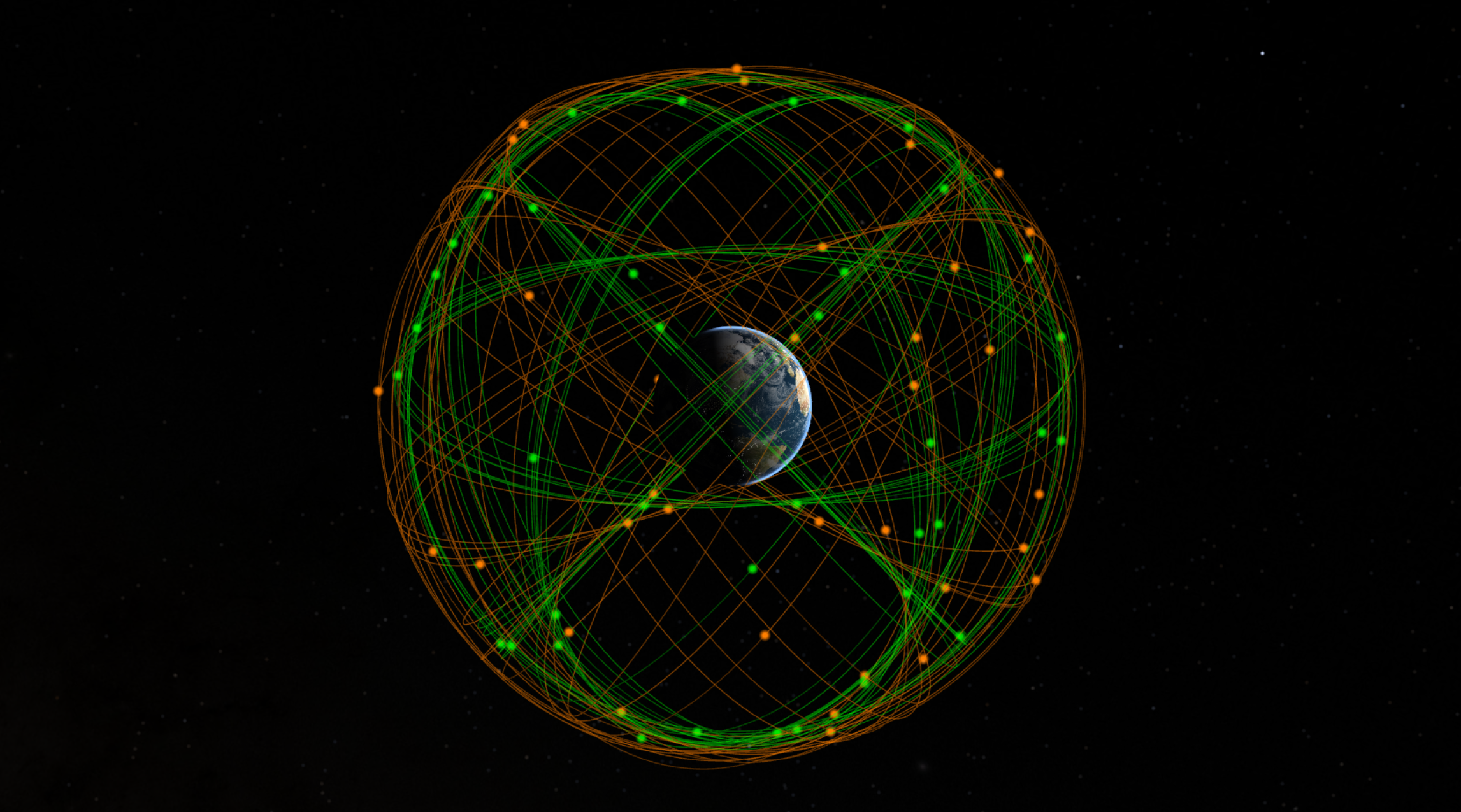
MEO covers a huge altitude range, but most operational satellites cluster in two specific bands. The first is the GNSS band around 19,100-23,200 km, where every major global navigation system flies. The second is around 5,400 km, occupied almost entirely by SES’s O3b broadband constellation.
GPS sits at roughly 20,200 km in a 12-hour orbit. That period is not arbitrary. A 12-hour orbit completes exactly two revolutions per sidereal day, which means each satellite repeats its ground track over the same longitudes every day - a property called semi-synchronous. With six orbital planes inclined at 55 degrees and four to six satellites per plane, the constellation guarantees that at least four satellites are visible from any point on Earth at any time. Twenty-four operational satellites is the magic number for global four-satellite coverage; the full constellation usually flies 31 to maintain redundancy.
The other GNSS systems made similar choices with deliberate variations. GLONASS uses 19,100 km at 64.8 degrees inclination - higher than GPS specifically to provide better coverage at high latitudes, which matters when half your country is above 60 degrees north. Galileo flies at 23,222 km and 56 degrees. BeiDou’s MEO segment sits at 21,500 km and 55 degrees. Japan’s QZSS is the odd one out, using inclined geosynchronous and HEO orbits to provide regional augmentation rather than global coverage.
O3b is a different animal entirely. SES’s broadband constellation flies at about 5,400 km in an equatorial orbit, completing a revolution every four hours or so. The lower altitude means much lower latency than GEO, and the equatorial inclination means the satellites permanently sweep over the regions O3b was designed to serve - the equatorial belt where geostationary look angles are highest and terrestrial fiber is thinnest. The “other 3 billion” in the name is not a marketing flourish; it was the original target market.
The defining environmental hazard of MEO is the Van Allen radiation belts. The inner belt extends from roughly 1,000 to 10,000 km and is dominated by high-energy protons. The outer belt runs from about 13,000 to 60,000 km and is dominated by relativistic electrons. GPS at 20,200 km sits squarely in the outer belt; O3b at 5,400 km lives just above the inner belt, in a relatively benign slot. Either way, MEO satellites cannot avoid the belts the way LEO satellites do, and they cannot fly above them the way GEO satellites do. They sit in the radiation, year after year. Every component has to be radiation-hardened, every solar panel oversized, every piece of memory error-corrected. This is not a place to fly commodity electronics.
Why It Matters
The thing MEO does better than any other orbital regime is balance coverage with latency. A GEO satellite can see a third of the planet but its signal takes about 500 milliseconds to make a round trip from the ground. A LEO satellite has latency under 50 milliseconds but covers a tiny patch of Earth and is gone in minutes. MEO splits the difference - 70 to 130 milliseconds round trip, with a single satellite footprint that can cover a continent and a constellation small enough to be financially viable.
That balance is why GNSS lives here. Navigation needs continuous global coverage from a constellation small enough that a single nation can afford to build, launch, and maintain it. Twenty-four to thirty MEO satellites accomplish what would require thousands of LEO satellites or a fleet of GEO birds positioned around the equator. The economics of GPS, GLONASS, Galileo, and BeiDou only close because of the geometry MEO provides.
Every GNSS satellite in service today flies in MEO. The world’s positioning, timing, and synchronization infrastructure - which underpins everything from cell networks to power grids to high-frequency trading - depends on a few dozen satellites in a band of space most people have never heard of.
The same geometry makes MEO attractive for broadband. O3b mPOWER, the second-generation O3b constellation now expanding to 11+ satellites, delivers gigabit-class connectivity to maritime, government, and enterprise customers in regions where GEO latency was a dealbreaker and LEO mega-constellation coverage is still maturing. The latency is good enough for video conferencing, the throughput is high enough for cruise ships and mining operations, and the satellites stay in view long enough that handovers are simpler than LEO.
The Tradeoffs
The radiation environment is the headline cost. A MEO satellite has to survive 10 to 15 years of charged-particle bombardment that would kill a LEO satellite in months. Rad-hard parts cost more, qualify slower, and lag the commercial state of the art by years. This is part of why GPS satellites are billion-dollar spacecraft and Starlink satellites are not.
Coverage is also a compromise rather than a win. MEO does not give you the persistent stare of GEO or the fiber-quality latency of LEO. For applications that need either extreme - dedicated regional coverage or sub-50 ms latency - MEO is the wrong answer. It exists in the middle precisely because the middle is where global coverage becomes affordable.
Launch logistics are another quiet tax. Most rockets are optimized for LEO insertion or GTO transfers; direct injection to MEO requires either a dedicated upper-stage burn or a long Hohmann transfer with a circularization burn at apogee. This is why GPS satellites historically rode Delta IV and now Falcon 9 / Falcon Heavy with extended coast missions, and why Galileo had to develop a dedicated dispenser for Ariane 5 and Soyuz launches. There is no mega-constellation rideshare to MEO yet.
The good news, for now, is that MEO is not a debris-rich environment. The total cataloged population at GNSS altitudes is in the low hundreds of objects, most of them operational. A collision at 20,000 km would be catastrophic and effectively permanent - perturbations are weak enough that debris would persist for centuries - but the probability is low because the volume is enormous and the population is sparse. That said, it is also the regime with the worst SSA coverage. Most ground-based radars cannot see MEO well, and most optical sensors are tuned for GEO. We track what is up there, but our resolution drops sharply above 2,000 km.
Fun Fact Space Nerds Might Not Know
When the Galileo program was designing its constellation in the late 1990s and early 2000s, ESA picked 23,222 km altitude in part as a deliberate engineering choice and in part as a political one. The altitude is high enough to put Galileo’s repeat ground track on a 10-day cycle (versus GPS’s 1-day cycle), which improves orbital determination and reduces resonance with Earth’s gravitational harmonics. But it also placed Galileo just far enough from the GPS shell to demonstrate operational independence from US military timing infrastructure - a quiet statement that European positioning would not share the same orbital regime as the system it was meant to complement and, if necessary, replace. The two constellations are interoperable today, but the altitude separation is no accident.
Looking Forward
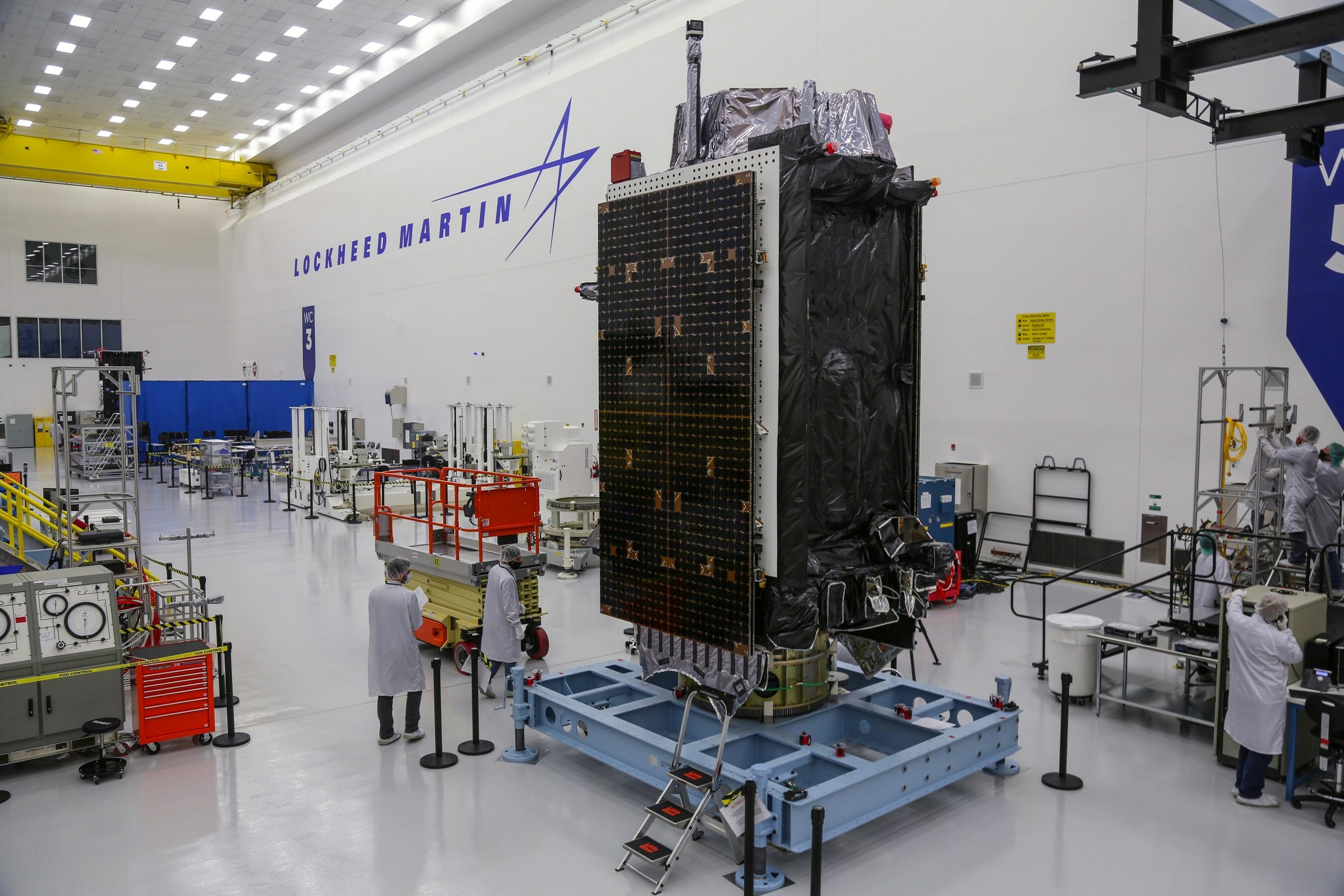
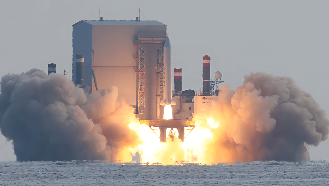
The most interesting MEO development in 2026 is happening on the GPS III SV10 satellite that just launched on April 21. It carries an Optical Inter-Satellite Link demonstration payload - a laser crosslink that, if it works, will be the first operational optical communications between MEO satellites in the GPS constellation. We have a dedicated post on OISL coming up, but the short version is that crosslinks let GPS satellites pass timing and ephemeris data to each other without needing constant ground-station contact. That has implications for accuracy, resilience, and how the system performs in a contested environment.
GPS IIIF, the next generation, is starting flight production. It will include a regional military protection capability, higher-power signals, and search-and-rescue payloads. O3b mPOWER continues to expand. China’s BeiDou-3 is fully operational. Galileo’s second-generation satellites are in development. The MEO regime is busier than it has been in decades, even if the satellite count remains modest by LEO standards.
The bigger question is SSA. As MEO becomes more strategically valuable - and as GPS jamming, spoofing, and direct-ascent threats become real - the lack of comprehensive tracking above 2,000 km is going to matter. Space Domain Awareness is an active research area for SDA and US Space Force, and you can expect more attention to MEO custody in the coming years.
For KeepTrack users, MEO satellites are easy to spot: filter for objects with apogees and perigees both between 5,000 and 25,000 km. You will see the navigation constellations clustered in their characteristic shells - GPS, GLONASS, Galileo, and BeiDou each tracing tidy nested rings around the planet - plus the equatorial sweep of O3b sitting much lower. Watch the ground tracks for a few hours and the geometry that makes MEO work becomes obvious: a single satellite covers a continent, the constellation covers the world, and the math just barely closes on a launch budget that any major spacefaring nation can afford.

Theodore Kruczek