· space terms · 6 min read
Two-Line Element Set (TLE)
The compact data format that describes every tracked satellite orbit in just two lines of text — and how to read it
Every tracked object in orbit has its path described by a pair of cryptic text lines that look like someone mashed their keyboard. But those 138 characters contain everything you need to know about where a satellite is and where it’s going. It’s the most widely used orbit data format in the world, and it was designed in the 1960s — before email, before the internet, before most programmers were born.
The Technical Bits
A Two-Line Element set (TLE) is a standardized data format that encodes the orbital parameters of an Earth-orbiting object into two 69-character lines of text. Originally developed by NORAD (North American Aerospace Defense Command) for use with punched cards, the format has remained essentially unchanged for over 50 years.
Here’s what a real TLE looks like, using the International Space Station as an example:
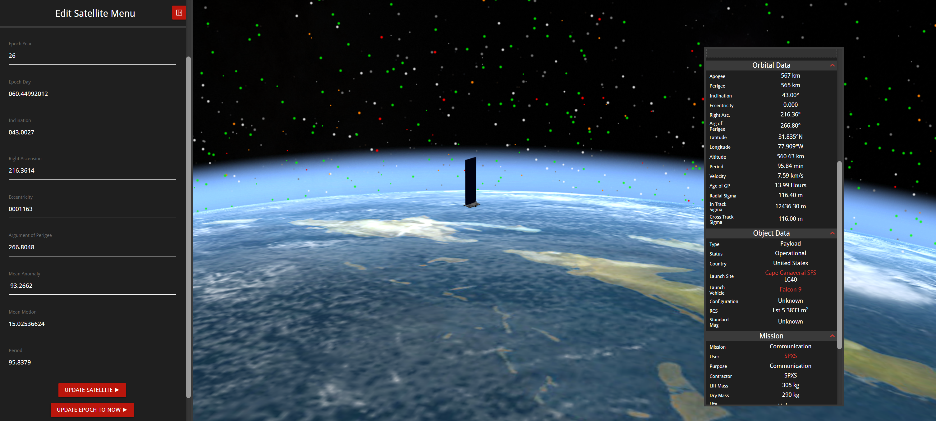
ISS (ZARYA)
1 25544U 98067A   24001.50000000  .00016717  00000-0  10270-3 0  9993
2 25544  51.6400 247.4627 0006703 130.5360 325.0288 15.49710108999999
Line 1 contains:
- Catalog number (25544) — the object’s unique ID in the space object catalog
- International designator (98067A) — identifies the launch (1998, 67th launch, object A)
- Epoch (24001.50000000) — the exact date and time these orbital elements are valid for
- Drag terms — coefficients that model how atmospheric drag affects the orbit
- Element set number and checksum — for data integrity
Line 2 contains the six classical orbital elements that define the orbit’s shape, orientation, and the object’s position within it:
- Inclination (51.64°) — the tilt of the orbit relative to the equator
- Right ascension of ascending node (247.46°) — where the orbit crosses the equator heading north
- Eccentricity (0.0006703) — how circular or elliptical the orbit is (0 = perfect circle)
- Argument of perigee (130.54°) — orientation of the orbit’s lowest point
- Mean anomaly (325.03°) — where the satellite is in its orbit at the epoch time
- Mean motion (15.497 rev/day) — how many orbits the object completes per day
Together, these parameters let any compatible software propagate the satellite’s position forward or backward in time.
Why It Matters
TLEs are the lingua franca of satellite tracking. Nearly every application that involves knowing where a satellite is relies on TLEs at some level:
- Collision avoidance: Operators compare TLEs of their satellites against the full catalog to identify potential close approaches. This is the first layer of defense against orbital collisions.
- Ground station operations: Satellite operators use TLEs to calculate when a satellite will pass over a ground antenna, enabling them to point the dish at the right spot in the sky at the right time.
- Amateur radio and satellite spotting: Ham radio operators and hobbyists use TLEs to predict when satellites like the ISS will pass overhead for communication or photography.
- Scientific research: Researchers studying orbital debris, atmospheric drag, and space environment modeling all rely on TLE data as their primary input.
- Space visualization: Tools like KeepTrack use TLEs to render the real-time positions of every tracked object in 3D.
The 18th Space Defense Squadron publishes updated TLEs for most cataloged objects through Space-Track.org, making them freely available to satellite operators, researchers, and the public.
What Most People Mix Up
The most common misconception is that TLEs give you a satellite’s exact position. They don’t — at least not for very long. TLEs are generated using a specific mathematical model called SGP4 (Simplified General Perturbations 4), and they’re only accurate when propagated with that same model. Using a different propagator, or using a TLE that’s more than a few days old, can produce position errors of kilometers or more.
TLE accuracy also varies dramatically by orbit type. For satellites in low Earth orbit, where atmospheric drag constantly perturbs the orbit, a TLE can become noticeably inaccurate within hours. For satellites in geosynchronous orbit, where drag is negligible, a TLE might remain usable for days or even weeks.
Another common confusion: TLEs are not the only orbit data format. High-precision applications like conjunction assessment increasingly use ephemeris data (a table of precise positions and velocities at specific times) or Orbit Mean-Elements Messages (OMMs), which carry the same information as TLEs but in a more modern, machine-readable format.
Fun Fact Space Nerds Might Not Know
The TLE format was designed to fit on an 80-column IBM punched card — the standard data entry medium of the 1960s. Each line is exactly 69 characters, leaving room for the card’s sequence number in columns 73–80. The format uses an implied decimal point for eccentricity (writing “.0006703” as “0006703”) and packs the drag coefficient into a custom exponential notation that has confused programmers for decades. Despite all this, no one has successfully replaced it. Multiple attempts to create a modern successor have been proposed over the years, but the sheer volume of existing software that reads TLEs — from billion-dollar military systems to hobby projects running on Raspberry Pis — has made the format essentially immortal.
The most frequently updated TLE in the catalog belongs to the ISS. Because its orbit decays rapidly due to atmospheric drag at ~420 km altitude and because it regularly performs reboost maneuvers, its TLE is updated multiple times per day — sometimes hourly during active mission phases.
Reading a TLE: A Quick Guide
If you want to decode a TLE yourself, here’s what to look for in the most useful fields:
- Mean motion tells you the orbit altitude. ~15.5 rev/day means LEO (~420 km, like the ISS). ~1.0 rev/day means GEO (~35,786 km). The higher the number, the lower and faster the orbit.
- Inclination tells you how far north and south the satellite travels. 0° means equatorial. 90° means polar. 51.6° (the ISS) means it passes over everywhere between 51.6°N and 51.6°S latitude.
- Eccentricity tells you the orbit shape. Values near 0 are nearly circular. Values near 0.7+ are highly elliptical (like a Molniya orbit used by Russian communications satellites).
- Epoch tells you when this data was generated. The fresher the epoch, the more accurate the predictions. If your TLE’s epoch is more than a week old for a LEO object, treat the predictions with skepticism.
Think of a TLE as a satellite’s passport photo — it captures a moment in time and tells you the essentials, but it gets less accurate the longer you rely on it without an update.

Theodore Kruczek