· today in space history · 8 min read
The Satellite That Taught Us What We Were Doing to the Planet
Landsat 7 launched on April 15, 1999, designed to last five years. It operated for twenty-five, survived a failure that destroyed a fifth of every image it took, and became part of the longest continuous record of Earth's surface ever assembled. Then they made the data free.
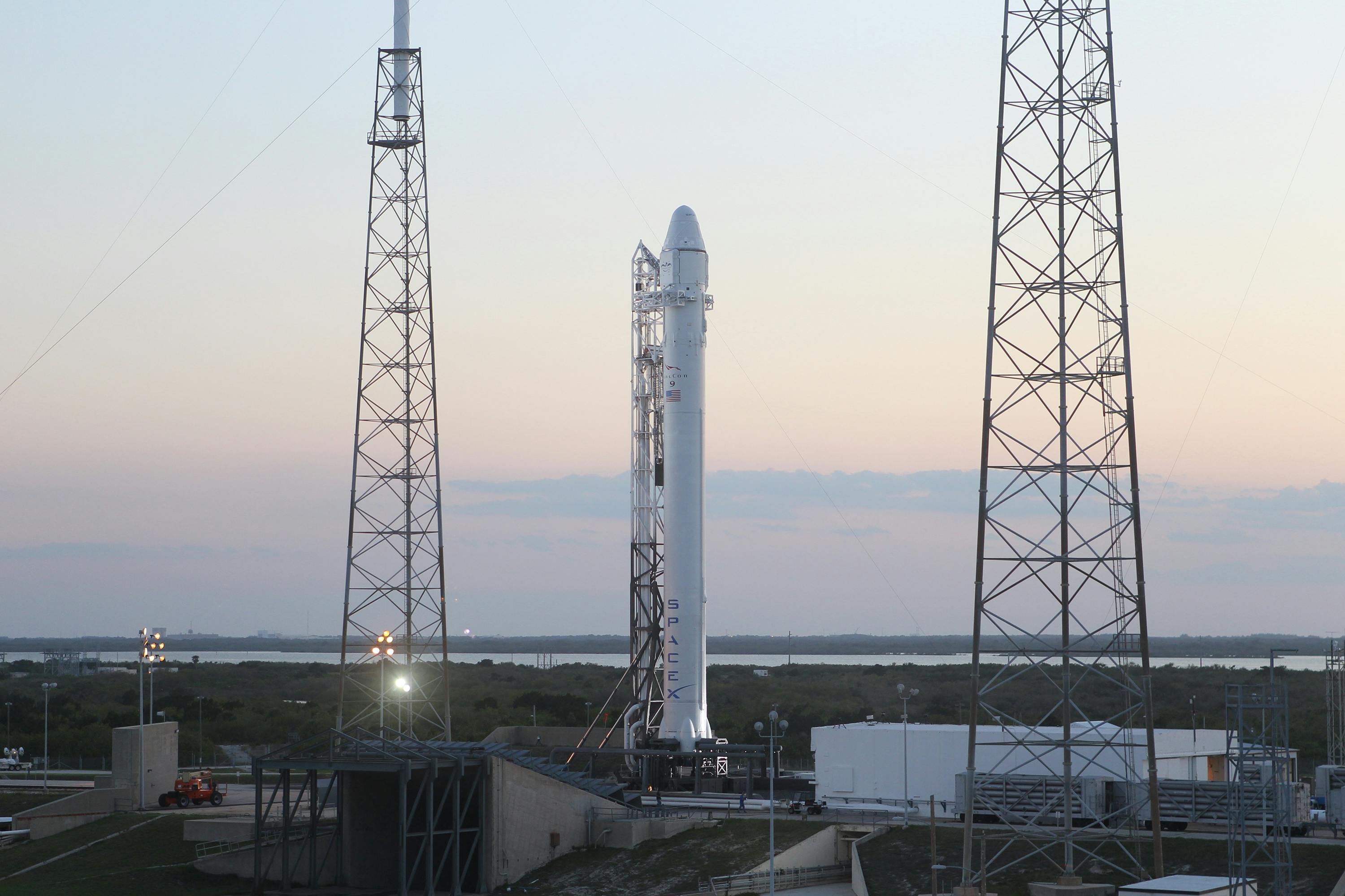
At 2:32 PM Eastern on April 15, 1999, a Boeing Delta II rocket climbed away from Vandenberg Air Force Base in California carrying a 2,200-kilogram satellite built by Lockheed Martin. Fourteen minutes later, Landsat 7 separated from its upper stage and settled into a sun-synchronous orbit 705 kilometers above the Earth’s surface, circling the planet every 99 minutes, crossing the equator at roughly 10:00 AM local time on every descending pass. It would photograph the same patch of ground once every sixteen days, building up a mosaic of the entire planet’s land surface in visible light, near-infrared, shortwave infrared, and thermal infrared.
The mission was designed to last five years. The satellite operated for twenty-five. In that time, its Enhanced Thematic Mapper Plus instrument captured 3.3 million scenes of the Earth’s surface, contributing to what is now the longest continuous satellite record of planetary change ever assembled. Landsat 7 watched glaciers retreat, forests disappear, cities sprawl, lakes shrink, and coastlines erode. It did not prevent any of it. But it made it impossible to deny.
The Landsat program is not glamorous. It does not send humans to the Moon or rovers to Mars. It points a camera straight down and takes pictures of dirt, water, and vegetation, over and over, from the same altitude, at the same time of day, for decades. That monotony is exactly what makes it one of the most consequential space programs in history.
A Camera Built for Patience
Landsat 7’s primary instrument was the Enhanced Thematic Mapper Plus, or ETM+. It was a whiskbroom scanner, meaning it swept a mirror back and forth across the satellite’s ground track, building up each image line by line as the spacecraft moved forward in its orbit.
3,316,494
Scenes Captured
Over 26 years of continuous operation, Landsat 7's ETM+ instrument imaged the Earth's surface every 16 days, building the longest continuous visual record of planetary change ever assembled.
The ETM+ imaged in eight spectral bands. Three covered visible light (blue, green, red), one captured near-infrared, two measured shortwave infrared, one recorded thermal infrared at 60-meter resolution, and a panchromatic band provided 15-meter detail in grayscale. The combination allowed scientists to do things that no single band could accomplish alone. Healthy vegetation reflects near-infrared light strongly and absorbs red light, so the ratio between those two bands reveals plant health invisible to the human eye. Thermal infrared detects heat signatures from urban areas, volcanic activity, and water temperature. Shortwave infrared penetrates thin clouds and distinguishes between types of rock and soil.
The sensor’s absolute radiometric calibration was accurate to within five percent, a level of precision that earlier Landsat instruments could not match. This mattered because the entire point of the program was comparison over time. If the instrument’s measurements drifted, you could not tell whether the Amazon was losing forest cover or whether the camera had changed. An onboard full-aperture solar calibrator let the instrument check itself against the Sun on every orbit.
Fifty Years of Looking Down
Landsat 7 was not the beginning. The program started on July 23, 1972, when NASA launched the Earth Resources Technology Satellite (later renamed Landsat 1) from Vandenberg. It carried a Multispectral Scanner with 80-meter resolution and a Return Beam Vidicon camera system. The images it returned were crude by modern standards, but they demonstrated something that no amount of aerial photography could: you could systematically image the entire planet from orbit, repeatedly, and track changes.
| Satellite | Launch | End of Service | Years Active | Key Advance |
|---|---|---|---|---|
| Landsat 1 | 1972 | 1978 | 6 | First civilian Earth imaging satellite |
| Landsat 2 | 1975 | 1982 | 7 | Improved ground station network |
| Landsat 3 | 1978 | 1983 | 5 | Added thermal band |
| Landsat 4 | 1982 | 1993 | 11 | First Thematic Mapper (30m resolution) |
| Landsat 5 | 1984 | 2013 | 29 | Longest-operating Earth imaging satellite |
| Landsat 6 | 1993 | 1993 | 0 | Failed to reach orbit |
| Landsat 7 | 1999 | 2025 | 26 | Enhanced calibration, 15m panchromatic |
| Landsat 8 | 2013 | Active | 13+ | OLI pushbroom sensor, better SNR |
| Landsat 9 | 2021 | Active | 5+ | 14-bit quantization, improved thermal |
The program nearly died several times. Landsat 6 failed to reach orbit in 1993 when its hydrazine manifold ruptured during orbital insertion. Budget fights in the 1980s and 1990s threatened to end the series entirely. Congress nearly privatized the program, and for several years Landsat data carried a price tag of up to $4,000 per scene, which priced out most researchers and developing nations.
Landsat 5, launched in 1984, holds the Guinness World Record for the longest-operating Earth observation satellite at 29 years. But Landsat 7, despite its own problems, extended the continuous data record through a critical period when scientists were building the first global maps of deforestation, urbanization, and agricultural expansion.
The Day the Mirror Stopped
On May 31, 2003, four years into the mission, a component called the Scan Line Corrector failed. The SLC was a small mirror that compensated for the satellite’s forward motion as the main mirror swept back and forth. Without it, each sweep of the main mirror produced a slightly offset line, resulting in wedge-shaped gaps at the edges of every image. Roughly 22 percent of the data in each scene was lost.
The SLC failure was permanent. NASA attempted a recovery but confirmed the mechanism could not be restarted. Every Landsat 7 image acquired after May 31, 2003 contains the characteristic striped gaps. That is 21 years of partial data, over 2.4 million scenes.
For most satellites, this kind of failure would end the mission or at minimum relegate it to backup status. Landsat 7 kept going. USGS developed gap-filling algorithms that combined overlapping passes and temporal composites to reconstruct the missing data. Researchers worldwide adapted their processing pipelines to work with the SLC-off imagery. The satellite’s radiometric accuracy was unaffected, so the data in the non-gapped portions remained scientifically valid. It was not ideal. But it was far better than having no satellite at all, particularly during the years before Landsat 8 launched in 2013.
The failure also shaped the design of subsequent missions. Landsat 8 and 9 use pushbroom sensors instead of whiskbroom scanners, eliminating the scan line corrector entirely. The instrument stares at the ground through a fixed linear array of detectors rather than sweeping a mirror, which removes the single point of failure that crippled Landsat 7.
The Decision That Changed Everything
For the first 36 years of the program, Landsat data cost money. Sometimes a lot of money. During the program’s brief privatization under EOSAT in the late 1980s and early 1990s, a single scene could cost thousands of dollars. Even after the government resumed control, scenes were priced at several hundred dollars each. Academic researchers could afford a handful of images for a specific study area. Global-scale analysis was effectively limited to well-funded government agencies.
In October 2008, the USGS made the entire Landsat archive free.
The effect was immediate and dramatic. Before the policy change, USGS distributed roughly 25,000 scenes per year. Within two years, that number jumped to over a million. Scientific citations of Landsat data increased sharply. Google partnered with USGS to ingest the entire archive into Google Earth Engine, making it possible for anyone with a browser to analyze decades of planetary change at 30-meter resolution.
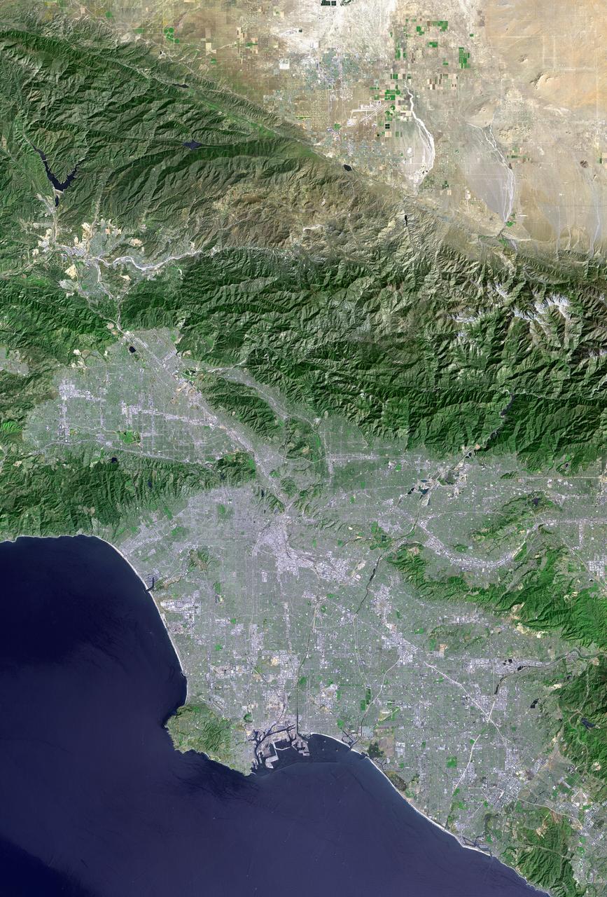
The research that followed reshaped environmental science. Matthew Hansen’s team at the University of Maryland used the open Landsat archive to produce the first global map of forest loss and gain at 30-meter resolution, published in Science in 2013. The map revealed that between 2000 and 2012, the world lost 2.3 million square kilometers of tree cover. Brazil’s deforestation monitoring system, PRODES, relies on Landsat data to enforce the country’s forest code. Agricultural agencies worldwide use Landsat time series to estimate crop yields and monitor irrigation. Urban planners track the expansion of cities into agricultural and natural lands.
None of this was possible when the data cost money. The free data policy is arguably the single most important decision in the history of satellite remote sensing.
Going Dark
Landsat 7 acquired its final science data on January 19, 2024. The decommissioning process took over a year, involving a series of orbit-lowering maneuvers to ensure the satellite would reenter the atmosphere within the 25-year post-mission disposal guideline. The mission was officially decommissioned on June 4, 2025.
By then, Landsats 8 and 9 had long since taken over operational duties. Landsat 9, launched in September 2021, carries an improved Operational Land Imager with 14-bit quantization (compared to Landsat 7’s 8-bit) and a thermal sensor with better calibration. The data continuity that Landsat 7 was designed to ensure is intact. There is no gap in the record.
That record now spans more than fifty years. The first Landsat image, captured on July 25, 1972, shows the area around Dallas-Fort Worth, Texas. The most recent Landsat 9 images show the same area, half a century of urban growth visible in the comparison. The same is true for the retreating Aral Sea, the expanding Sahara, the shrinking of Lake Chad, the deforestation of Borneo, the growth of Beijing, the flooding of the Three Gorges reservoir.
Landsat 7’s contribution was 26 years and 3.3 million scenes of that record. It launched on a day nobody celebrates, from a base most people have never heard of, carrying an instrument that took pictures of the ground. It is one of the most important satellites ever built.
References(10)
- Landsat 7 - NASA NSSDCA Spacecraft Details
- Landsat 7 Overview - U.S. Geological Survey
- A Final Farewell to Landsat 7 - NASA Landsat Science
- Landsat 7 Celebrates Silver Anniversary - USGS
- Twenty Years with Landsat 7 - NASA Landsat Science
- Fifteen Years of Open Data Allows Advancements in Landsat Use and Research - USGS
- Fifty Years of Landsat Science and Impacts - Remote Sensing of Environment, 2022
- Fifty Years of Landsat: Observing Earth to Look Forward - USGS
- Landsat 7 Scan Line Corrector Failure - USGS
- Landsat 7 Launch - NASA Earth Observatory

Theodore Kruczek